Curiosity Blog, Sols 4954–4960: Celebrating Our Rover Engineers Past and Present
 NASAJuly 24, 20264 min read1 views
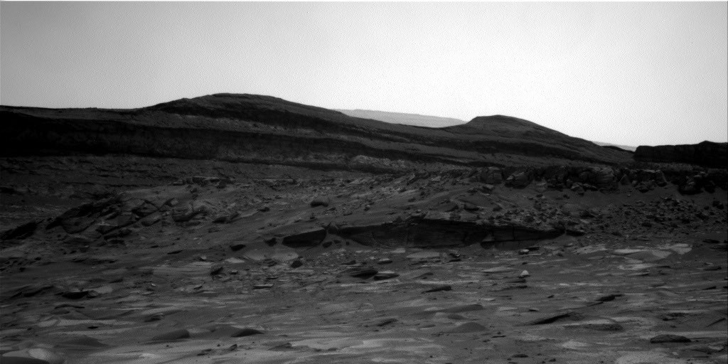
Curiosity Navigation Curiosity Home Mission Overview Where is Curiosity? Mission Updates Science Overview Instruments Highlights Exploration Goals News and Features Multimedia Curiosity Raw Images Images Videos Audio Mosaics More Resources Mars Missions Mars Perseverance Rover Mars Curiosity Rover Mars Reconnaissance Orbiter Mars Odyssey More Mars Missions Mars Home 3 min read Curiosity Blog, Sols 4954–4960: Celebrating Our Rover Engineers Past and Present In this image acquired by NASA’s Mars rover Curiosity, the relatively light-toned bedrock in the foreground gives way to darker-toned rocks in the middle of the image, along what could be an erosional surface. Curiosity acquired the image using its Right Navigation Camera on July 15, 2026 — Sol 4955, or Martian day 4,955 of the Mars Science Laboratory mission — at 05:51:59 UTC.
NASA/JPL-Caltech Written by Lucy Thompson, Senior Research Scientist, University of New Brunswick, Canada Earth planning date: Friday, July 27, 2026 As an APXS uplink lead and strategic planner, I have the privilege of working with the rover engineers most days that I am on operations. The APXS instrument measures the chemistry of rocks, unconsolidated materials and the atmosphere, and is situated on the end of Curiosity’s robotic arm. This means that any target of interest that we wish to analyze has to be safe to deploy the arm, APXS, and MAHLI (the closeup imager) to.
We therefore rely on the rover engineers for their assessment and to sequence the arm moves to place us safely on the targets. Recently, our workspaces have been dusty with varied relief, but the rover engineers have successfully found areas that they have been able to brush and deploy APXS and MAHLI. This week was no exception, despite some of our workspaces appearing less than ideal upon initial observation.
The team managed to find rock targets of interest (x5), which the rover engineers were able to safely place the arm on and brush so that we could analyze them with APXS and MAHLI. This ensures that we acquire high-quality compositional data and images as we continue our ascent of Mount Sharp, through rock layers of varying tone and texture, tracking potential changes in chemistry, and the depositional and alteration environment. The rover engineers are also responsible for safely driving Curiosity to the areas of interest identified by the science team.
They must assess the terrain for potential hazards such as large resistant blocks that could damage the rover wheels, sand/soil patches where we could get stuck, and high slopes that the rover could slip on. 35 kilometers) of elevation gain. We recently requested to drive to specific locations in order to image what the team thinks could be an erosional surface within the Mg-sulfate/carbonate-bearing unit ( see the image accompanying this post ).
NASA
nasa.gov